U-23 - 6th War Patrol
Translation by Jerry Mason with help from Andi Forster
Departed |
Date |
Arrived |
Date |
Days at Sea |
Kiel |
8 January 1940 |
Wilhelmshaven |
15 January 1940 |
8 |
| Click the icon to download a KMZ file displaying the U-boat track, significant events and locations for this patrol. You must have Google Earth loaded on your computer to view this file. Download Google Earth here |
Ships Hit |
||||||
Date |
KTB Time |
Position |
Ship |
Tons |
Nationality |
Convoy |
11 Jan 40 |
16.32 |
58°45'N,
0°06'E |
FREDVILLE |
1,150 |
Norwegian |
|
12 Jan 40
|
06.50 |
58°59'N,
2°54'W |
DANMARK |
10,517 |
Danish |
|
Total = 11,667 |
||||||
| Note: The positions in the table above and in the Google Earth patrol summary are derived from the KTB and in many cases do not match those set forth in authoritative references such as Jürgen Rohwer, Axis Submarine Successes of World War Two or the Uboat.net website. The goal here is to present the picture relative to the U-boat and not the absolute position that the ship was attacked or sank. | ||||||
| |
|||||||||||||||
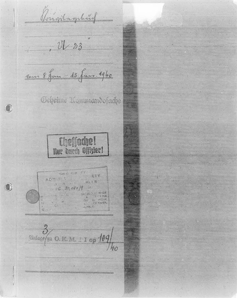
| K r i e g s t a g e b u c h " U 23 " | |||||||||||||||
| ============================== | |||||||||||||||
| Kommandant: Kapitänleutnant Kretschmer. | |||||||||||||||
 |
|||||||||||||||
| Beginning: 8. 1. 1940 | |||||||||||||||
| Ending: 15. 1. 1940 | |||||||||||||||
|
|||||||||||||||
| © U-boat Archive 2025 - all rights reserved | |||||||||||||||
 |
Click the flag to view the above page from the original German KTB |
- 1 - |
|||||
| 08.01.40 | Kiel, Tirpitz Mole | Ready for sea. Cast off from "DONAU". | |||
| 23.57 | |||||
| 09.01.40 | |||||
| 00.30 - 07.30 | Cruise through the Kaiser Wilhelm Canal with the assistance of the Arsenal tug "MONSUN" as icebreaker. | ||||
| 08.55 | Down the Elbe tug "EISFUCHS" and from Cuxhaven also Sperrbrecher "SPO" as icebreaker to buoy Elbe I. | ||||
| 11.15 | Vis. good on the Elbe, heavy drift ice | Passing report at Cuxhaven. | |||
| 13.45 - 14.05 | Test dive at buoy Elbe I. | ||||
| 14.10 | Put to sea for the operations area on route "Blau alpha". | ||||
| 14.30 - 15.25 | Recognition Signals exchanged with own patrol vessels. | ||||
| 16.00 | |||||
| S 3-4, Sea 1, Vis. good, no moonshine | |||||
| 20.00 | |
||||
| 10.01.40 | |||||
| 00.00 | |||||
| 04.00 | |||||
| 08.00 | |||||
| 08.15 | Dived and proceeded |
||||
| 12.00 | Day's run = 207 nm. | ||||
| 16.00 | |||||
| 17.48 | Deep dive to depth 60 meters, afterwards surfaced. No issues. | ||||
| 20.00 | |||||
| Wind 1, Vis. good, Sea 1-2, Norther Lights, no moon | |||||
| |
|||||
|
Sun and Moon Data 08.01.40 |
| Sun and Moon Data 09.01.40 | |
| Sun and Moon Data 10.01.40 |
- 2 - |
|||||
| 11.01.40 | |||||
| 00.00 | |||||
| 04.00 | |||||
| 08.00 | |||||
| 12.00 | Day's run = 171 nm. | ||||
| 16.00 | |||||
| 16.32 | Sighted a steamer in |
||||
| Immediately thereafter a tanker came in sight in |
|||||
| 18.33 | 1st shot: G 7a Eearly detonator after a running track of 260 meters. Steamer stopped, set out boats, examined the side of the hull. | ||||
| 19.11 | 2nd shot: G 7e From the south: miss. | ||||
| 19.20 | 3rd shot: G 7e Hit aft. Steamer broke in two parts. Aftership sank quickly (3 minutes). Did not wait on the sinking of the foreship because time was running out for the operation into Inganess Bay. For that the boat should be in the vicinity of Auskerry around 04.00 hours, so that it can definitely leave the Stronsay Firth on the surface in darkness. | ||||
| 20.00 | |||||
| 20.15 | Loaded the reserve torpedo (G7e) in tube III. | ||||
| Unfortunately, after firing 3 torpedoes, only one was left for the main operation. But I thought it was necessary to destroy the tanker in any case. | |||||
| |
|||||
| 12.01.40 | |||||
| 00.00 | I had decided to first go to Inganess Bay, because the since the entrance to the Stronsay Firth was known to me from previous ventures. | ||||
| 04.00 | |||||
| 03.30 | Operations Order B.d.U. B.Nr. Gkds 1294 of 3.1.40 Copy No. 5, | ||||
| Keying Sheets Nr. 0701-0763 and Keying Data TIN (2x) for 1-12.1.40 were destroyed by fire. | |||||
| 04.30 | Starry clear, misty horizon, SW 1, Sea 1, bit of a Swell | At 04.30 hours the NE tip of Stronsay Island came in sight. All light beacons were extinguished. | |||
|
Sun and Moon Data 11.01.40 |
| Sun and Moon Data 12.01.40 |
- 3 - |
|||||
| continued | |||||
| 12.01.40 | Turned to the south, broke through the patrol vessel line off Burg Head and went around south of Auskerry at AK entering the Stronsay Firth. I held to the south under land at the Mull of Deerness to Rerwik Head, so as not to be seen by vessels entering and leaving Shapinsay Sound, although it was of course possible with the prevailing wind, that vessels were anchored on the south coast. | ||||
| Just east of Rerwik Head avoided a patrol vessel lying there to the north. | |||||
| Overcast, SSW 3, Sea 1-2, Vis. good, no moon | Two other patrol vessels were passed, one east of the Head of Holland, the 2nd in the entrance to Inganess Bay. Entry into Inganess Bay succeeded unnoticed. In the SW corner of the bay 2 badly dimmed large merchant ships were made out, shot the last torpedo at the closest, a tanker of 8000-10000 tons. Hit center. Steamer sank forward apparently laying on the bottom. At first the stern remained on the surface. Further sinking not observed because we ran out at AK. The patrol vessels did nothing. | ||||
| 06.50 | |||||
| Since all torpedoes were expended, began return transit. As patrol vessels counted 11 lighted vessels off the Stronsay Firth (fishing trawlers), of these a few up to 5 nm from the coast. | |||||
| 08.20 | At 08.20 hours passed a freighter, which was apparently ready to enter Kirkwall A north-south steamer track was passed between the Meridian of 2° and 2°10'W. | ||||
| 08.00 | |||||
| 09.15 | Dived for enemy patrol vessels. Dwpth 16 meters and 30 meters. | ||||
| 12.00 | Day's run = 194 nm. | ||||
| 16.00 | |||||
| 17.28 | Surfaced. | ||||
| 20.00 | |
||||
| 13.01.40 | |||||
| 00.00 | |||||
| 04.00 | |||||
| 08.00 | |||||
| 12.00 | Day's run = 197 nm. | ||||
|
Sun and Moon Data 12.01.40 |
| Sun and Moon Data 13.01.40 |
- 4 - |
|||||
| continued | |||||
| 13.01.40 | |||||
| 14.15 | Dived for |
||||
| 16.00 | |||||
| 17.15 | Surfaced. Sent position report by Radio Message. | ||||
| 20.00 | |||||
| |
|||||
| 14.01.40 | |||||
| 00.00 | |||||
| SSW 2, overcast, Sea 2, no moon | |||||
| 04.00 | |||||
| 08.00 | |||||
| 08.15 | Dove. Put the boat on the bottom, because in accordance with Radio Message orders arrival Wilhelmshaven is ordered first on 15 January. | ||||
| 12.00 - 16.00 | Day's run = 170 nm. | ||||
| 17.23 | Surfaced. | ||||
| 20.00 | |||||
| |
|||||
| 15.01.40 | |||||
| 00.00 | |||||
| 04.00 | |||||
| 07.30 | Back and forth in position at Lightship "D". | ||||
| 09.32 | Arrived Wilhelmshaven with tug as ice breaker (from Lightship "F"). | ||||
| Wilhelmshaven - South Lock | |||||
| Made fast U-boat base. | |||||
| |
|||||
| Kapitänleutnant and Kommandant. | |||||
|
Sun and Moon Data 13.01.40 |
| Sun and Moon Data 14.01.40 | |
| Sun and Moon Data 15.01.40 |
- 5 - |
|||||||||||||||||||||||
| Special Experiences. | |||||||||||||||||||||||
|
|||||||||||||||||||||||
| |
|||||||||||||||||||||||
|
| Enclosures to U-23's KTB - click on the text at left to proceed to the document | |
| ChartA | Track chart of outbound and return transit |
| ChartB | Track chart of period in operations area |
| Torpedo | Torpedo firing reports |
Click the icons to view the associated records |
|||||
 |
Return to the U-boat KTB page | ||||