U-23 - 4th War Patrol
Translation by Jerry Mason with help from Andi Forster
Departed |
Date |
Arrived |
Date |
Days at Sea |
Kiel |
1 November 1939 |
Kiel |
9 November 1939 |
9 |
| Click the icon to download a KMZ file displaying the U-boat track, significant events and locations for this patrol. You must have Google Earth loaded on your computer to view this file. Download Google Earth here |
Ships Hit |
None |
| Note: The positions in the table above and in the Google Earth patrol summary are derived from the KTB and in many cases do not match those set forth in authoritative references such as Jürgen Rohwer, Axis Submarine Successes of World War Two or the Uboat.net website. The goal here is to present the picture relative to the U-boat and not the absolute position that the ship was attacked or sank. |
 |
|||||
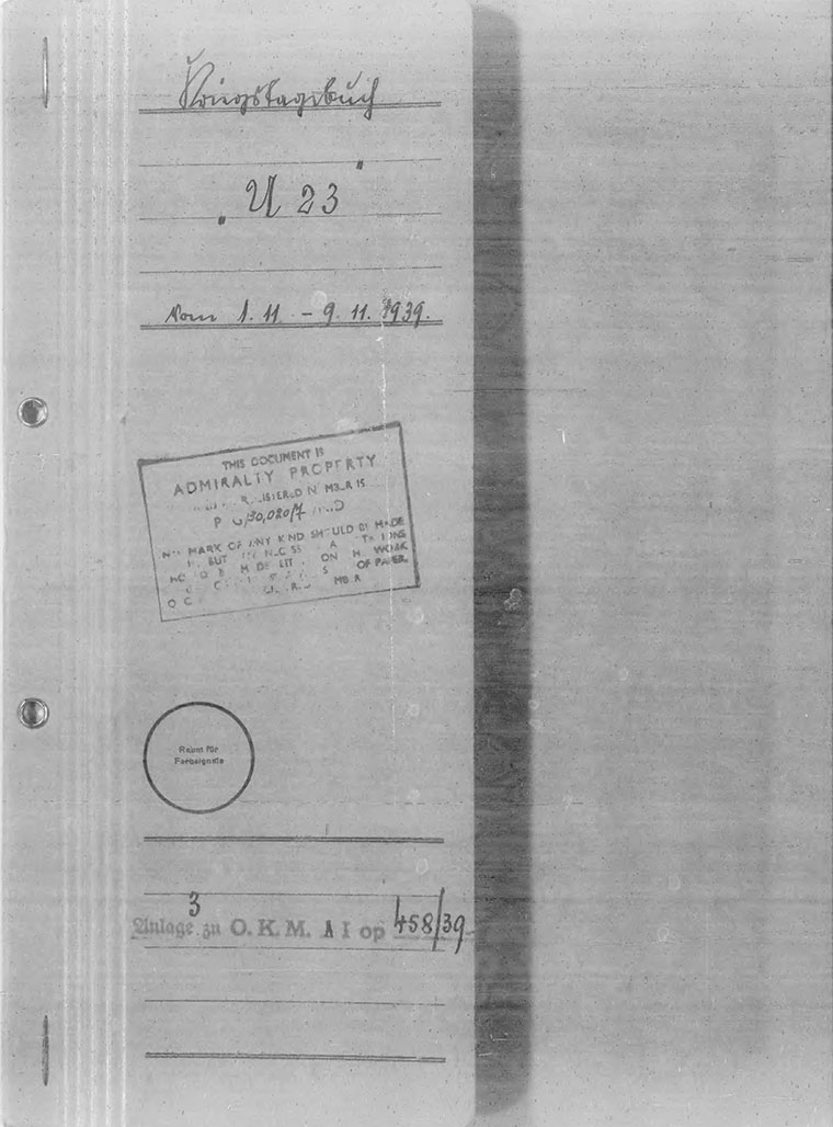
| K r i e g s t a g e b u c h " U 23 " | |||||
| ---------------------------------------------- | |||||
| for | |||||
| the 4th sea voyage from 1.11.1939 - 9.11.1939. | |||||
| Kommandant: Kapitänleutnant Kretschmer | |||||
 |
|||||
| © U-boat Archive 2025 - all rights reserved | |||||
 |
Click the flag to view the above page from the original German KTB |
- 1 - |
|||||
| 01.11.39 | |||||
| 01.30 | Put to sea from Kiel through the Kaiser Wilhelm Canal to the North Sea. | ||||
| 20.40 | Passed own warning area, Route Ia. | ||||
| |
|||||
| Kapitänleutnant and Kommandant. | |||||
| 02.11.39 | ESE 5-6 | ||||
| 02.30 | |||||
| 08.00 | K 130 upper-right | ||||
| 12.00 | K 994 center | ||||
| 16.00 | K 1200 lower-center | ||||
| 20.00 | E 1625 lower-left | |
|||
| Kapitänleutnant and Kommandant. | |||||
| 03.11.39 | ESE 5-6 | ||||
| 00.00 | E 1450 lower-left | ||||
| 03.40 | Gyro compass out of service. | ||||
| 04.00 | E 1213 upper-right | Destroyed Operations Order (B.d.U. Gkdos 901 and 2 Enclosures). | |||
| 07.40 | E 1041 lower-left | Submerged cruise to repair the gyro-compass and reload the mines. Afterwards due to very inexact ship's position headed for the Firth of Moray navigating by the broadcast transmitter at Burghead and by soundings, with that broke through the outer patrol vessel line positioned between Kinnard Head and Noss Head. | |||
| 18.00 | E 802 | ||||
| 20.00 | E 682 | ||||
| 22.00 | |||||
| |
|||||
| Kapitänleutnant and Kommandant. | |||||
| 04.11.39 | SE 4-5 | ||||
| 03.15 | E 259 lower-center | Covesea Skerries Lighthouse (weak light) in sight. Advanced in the deep channel at the south coast into the inside of the Firth. | |||
| 04.30 | Between Burghead, whose beacon was extinguished and Tarbet Ness, whose beacon burned, there were dimmed destroyers patrolling on this line moving back and forth and another dimmed destroyer at anchor or lying stopped under Burghead. | ||||
| 04.55 | |||||
| While breaking through was forced to dive due to sudden bright moonshine, because the boat came into the moon bearing of a destroyer. Waiting for daylight lying on the bottom was not possible, because at depths over 30 meters the engine room and diesel ran full of water via the exhaust gas valve. Therefore continued submerged in the deep channel of the Guillam Bank into the interior of the Firth. | |||||
| |
|||||
| Kapitänleutnant and Kommandant. | |||||
|
Sun and Moon Data 01.11.39 |
| Sun and Moon Data 02.11.39 | |
| Sun and Moon Data 03.11.39 | |
| Sun and Moon Data 04.11.39 |
- 2 - |
|||||
| continued | |||||
| 04.11.39 | |||||
| 10.08 - 10.54 | Deployed mines at Place "Ida" between the ordered points with an arc to the west. Distance between mines 500 meters. Charted depth 30-23 meters. Depth calculations: | ||||
| Low water for Cromarty = 10.44 hours | |||||
| Height over chart null = +1.3 meters. | |||||
| Patrol vessels (fishing trawlers) moved back and forth to both sides and outside the objective buoy. Afterwards moved off north of the Guillam Bank in the deep channel. | |||||
| 15.00 | There at 15.00 hours broke through the destroyer patrol submerged until 18.00 hours, then surfaced in the vicinity of the south coast and ran out of the fjord. In so doing observed: lighthouses at Burghead, Tarbet Ness and Kinnard Head burned dimmly with peacetime markings. All other lighthouses were extinguished. Strong patrol (fishing trawlers) along the south coast. Excpet for the patrol belt (fishing trawlers) on the line Kinnard Head - Noss Head. In the entire fjord no barriers determined. I consider an extensive blockade of the entrance to the Cromarty Firth by anti-U-boat mines to be very promising. | ||||
| |
|||||
| Kapitänleutnant and Kommandant. | |||||
| 05.11.39 | SE 5-6 | Radio Message to B.d.U. West: Task "Ida" completed. | |||
| 04.15 | E 859 upper-right corner | Due to the unreliability of the gyro-compass return transit through own warning area is not acceptable; therefore headed for the Norwegian south coast to return around Skagen to Kiel. | |||
| 08.00 | E 1099 | ||||
| 12.00 | E 1279 lower-right corner | ||||
| 16.00 | E 1399 upper-right f. [? have not seen r.u.f. before don't know what f. stands for] | ||||
| 20.00 | E 1579 lower-center | |
|||
| Kapitänleutnant and Kommandant. | |||||
| 06.11.39 | E 1759 upper right f. | In the morning the attack periscope failed: stuck in the shaft. Apparently a foreign body fell from above into the periscope bushing. This malfunction can recur at any time as long as the T.U.Z.A. in its current design must be completely retracted on the forward periscope, which means that the periscope bushing remains open at the top. Therefore I consider a change by installing a folding cover plate on the T.U.Z.A. to be absolutely necessary. | |||
| 04.00 | E 1939 upper-right f. | ||||
| 08.00 | E 2179 upper-right f. | ||||
| 12.00 | E 2419 upper-right f. | ||||
| 16.00 | E 2598 upper | ||||
| 20.00 | E center-left edge | ||||
| |
|||||
| Kapitänleutnant and Kommandant. | |||||
| 07.11.39 | E 378 center [typo F 378] | Temperature of the starboard thrust bearing is too high. The starboard diesel can run at most at HF. | |||
| 02.00 | SE 1-2 | ||||
|
Sun and Moon Data 04.11.39 |
| Sun and Moon Data 05.11.39 | |
| Sun and Moon Data 06.11.39 | |
| Sun and Moon Data 07.11.39 |
- 3 - |
|||||
| continued | |||||
| 07.11.39 | |||||
| 19.25 | Skagen Lightship. | ||||
| |
|||||
| Kapitänleutnant and Kommandant. | |||||
| 08.11.39 | Samsö Belt | ||||
| 09.11.39 | Entered the Baltic through the "Little Belt" and the "Kekenis Channel" north of Breitgrund, and in fact for the third time was unnoticed by own warships up to the Kiel Lightship. | ||||
| [arrived Kiel 9 Nov 06.00] | |||||
| For example, patrol vessels were passed at a distance of 100-200 meters without any notice taken of the dimmed U-boat. The Falschöft Signal Station, to which the entry report should be given at close range, did not answer calls with a clapper or those with searchlights. The pilot vessel off the Kiel Fjord first made a Recognition Signal when U-23 with set lights lay stopped and gave its number by megaphone. In general, the entire monitoring of the Little Belt and the western Baltic Sea gave the impression of the deepest sleep. | |||||
| |
|||||
| Kapitänleutnant and Kommandant. | |||||
|
Sun and Moon Data 07.11.39 |
| Sun and Moon Data 08.11.39 | |
| Sun and Moon Data 09.11.39 |
| Enclosures to U-23's KTB - click on the text at left to proceed to the document | |
| ChartA | Track chart of entire patrol |
| ChartB | Track chart of period in operations area |
| Mine Report | Mine Report |
Click the icons to view the associated records |
|||||
 |
Return to the U-boat KTB page | ||||